
Key takeaways
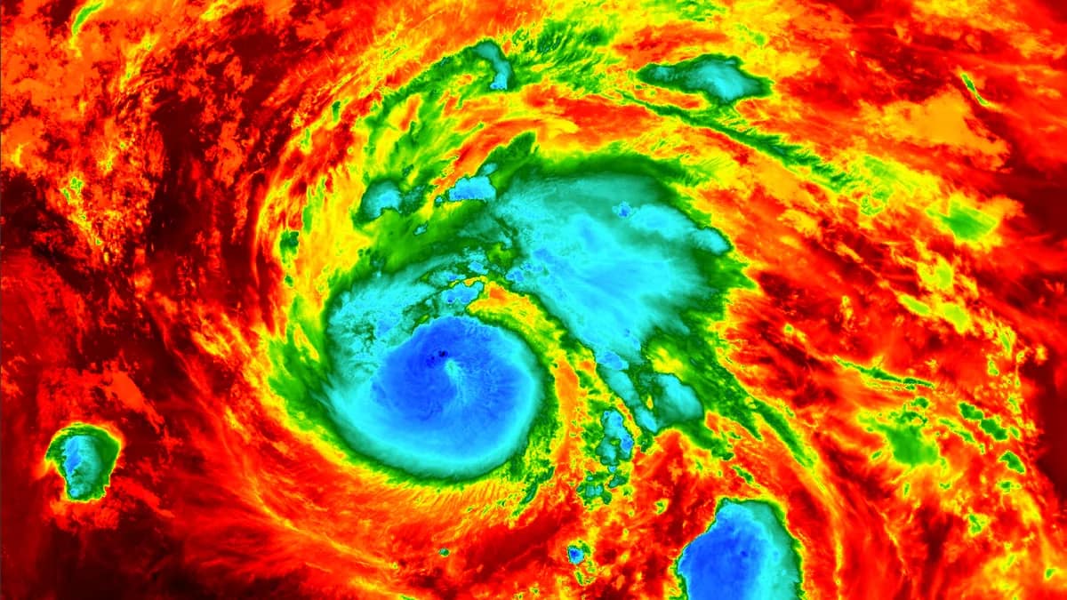
- NPR reported Hurricane Simon at 155 mph early Sunday, just below the Category 5 threshold, while CBS News later described a Category 4 storm with winds down about 20 mph.
- The two figures come from different hours of the same day, so check the time on any wind number before you compare it with another.
- Simon's rainfall (10 to 20 inches, locally up to 30) and storm surge are separate dangers that the category label doesn't capture.
- As of Sunday evening, the center was about 55 miles south of Cabo Corrientes, moving north-northwest at roughly 6 mph, with the worst conditions expected around midnight into Monday morning.
If you’ve been following Hurricane Simon, you’ve probably seen numbers that don’t match. NPR reported early Sunday that the storm had 155 mph winds, just short of Category 5. CBS News later called it a Category 4 that had weakened by about 20 mph. Neither outlet is wrong. They’re describing the same storm at different hours, and the storm was moving slowly up Mexico’s Pacific coast toward the Puerto Vallarta area.
Why do Hurricane Simon’s wind speeds keep changing?
Because a wind speed is a snapshot, and the snapshots were taken at different times. NPR’s 155 mph figure was written early Sunday. CBS reported that Simon weakened through the day, with maximum sustained winds down about 20 mph. The National Hurricane Center expected more weakening, though still a strong hurricane at the coast.
That’s the whole mystery. The earlier report is simply older. If you’re comparing two articles, look for the time stamp before you look at the number.
One caution on the math. CBS gives the drop of about 20 mph but doesn’t say what it was measured from, and it doesn’t print a current wind speed. I wouldn’t subtract 20 from 155 and treat the result as the latest official figure. The latest NHC advisory is the number to trust, and it isn’t quoted in the coverage I have.
What a Category 4 label tells you, and what it leaves out
A category rating is built from one measurement: maximum sustained wind. That’s why 155 mph was described as just below the Category 5 line, and why a weakened Simon is still labeled Category 4. The label says how strong the winds are near the center. It says nothing about rain, surge or how big the storm is.
Simon’s other hazards are spelled out separately. Forecasters are calling for 10 to 20 inches of rainfall across parts of Mexico’s southwest, and as much as 30 inches in some areas of Michoacan, Colima and Jalisco. The hurricane center warned of life-threatening flooding and mudslides, especially on steep terrain. A dangerous storm surge with large, destructive waves is expected along the immediate coast, near and east of where the center makes landfall.
So a drop in wind speed isn’t a reason to relax. NHC senior hurricane specialist Phillippe Pappin, as described by CBS, put the concern this way:
“We’re expecting catastrophic wind and life-threatening storm surge impacts along that west central coast of Mexico where the hurricane warning is currently in effect”
That was said about a storm already weakening. The warning language stayed the same.
Reading the location and the wind field
Position reports also differ, and again the explanation is mostly timing and reference points. NPR placed Simon about 60 miles west-southwest of a coastal town it spelled “Manzanilla.” CBS, as of Sunday evening, put the center about 55 miles south of Cabo Corrientes. Both had it moving north-northwest at about 6 mph.
Cabo Corrientes matters. It’s the westernmost tip of mainland Mexico and sits at the southern end of Bahia de Banderas, the bay where Puerto Vallarta is located. The hurricane specialist said it’s the area most likely to take a direct hit.
Don’t fixate on the exact point where the center crosses, though. Hurricane-force winds extend up to 25 miles from the center and tropical-storm-force winds up to 60 miles. That means the whole stretch between the coast and the Sierra Madre could feel the storm, not just the spot on the map where the eye lands.
The slow forward speed is worth noticing too. At about 6 mph, Simon is not hurrying anywhere. The most damaging winds and rain were expected from around midnight Sunday and to continue through Monday morning, which suggests a long stretch of rough weather rather than a quick pass.
What to do with these numbers if you’re traveling or have family there
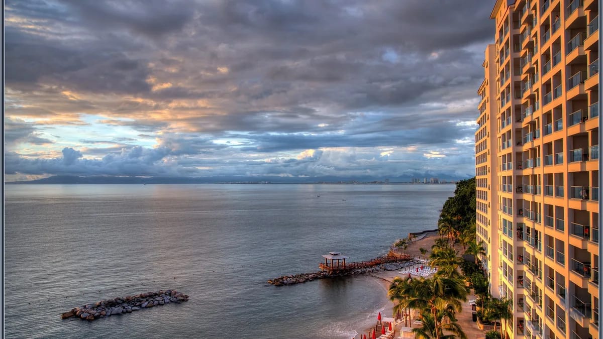
Use the official channels, check the time on everything, and plan around the whole threat rather than the category. Puerto Vallarta is a popular destination for U.S. tourists, and CBS reported that visitors were still arriving, with some saying they were unprepared.
On the official side, authorities have been issuing guidance directly. President Claudia Sheinbaum used X to tell residents of Jalisco, Colima, Nayarit and Michoacan to remain indoors until officials declare the danger over, to heed civil protection guidance and to stay off public roads. Her post also said:
“Precautionary evacuation efforts to safe zones are ongoing; the priority is our safety”
Jalisco also told Puerto Vallarta’s tourism industry to get its staff and guests into shelters or safe zones, according to NPR. If you’re a visitor, that means your hotel is the first place to ask where you should go.
On the ground, CBS reported National Guard vehicles patrolling Puerto Vallarta and police using a megaphone to tell people on the waterfront that the area was closed and to take shelter. Not everyone complied. Public transport was suspended, and a hotel worker said most of one hotel had been evacuated. Businesses had boarded up windows on Saturday.
For family members back home, the practical step is simple: ask the traveler which advisory time they’re looking at, and where their shelter is. A charged phone helps with that, though the coverage doesn’t report any outages so far.
If you want to understand where intensity estimates come from, our piece on how NOAA hunter flights feed hurricane forecasts covers one of the tools forecasters use.
Gaps in the picture as of Sunday evening
A lot is still not reported. The coverage doesn’t say where or when Simon will make landfall or at what wind speed. It doesn’t give a maximum sustained wind figure from the latest advisory, only the Category 4 label and the 20 mph decrease. No deaths, injuries or major damage have been reported yet.
Evacuation numbers are vague as well. Jalisco has started moving people out of vulnerable areas, but the reports say only that it’s dozens, with no exact count. It’s also unclear how many tourists are in Puerto Vallarta, or what airlines and airports are doing.
Outlets disagree on school closures. NPR says Jalisco suspended classes in 22 coastal municipalities on Friday and Monday, while CBS says Monday only. Whether the flooding and mudslide risk will reach Nayarit, and how far inland it extends, hasn’t been reported.
Housing is another worry. CBS reported that homes in communities on higher ground behind the resort strip may not withstand the storm.
The rule I’d follow: treat every wind speed as a timestamped reading, and let the warnings, not the category, set your level of caution.
Related gear
- Kindle Paperwhite on Amazon — Related gear
Disclosure: some links in this article are affiliate links or our editor's own courses and book. If you buy through them, TechyCluster or its editor may earn money at no extra cost to you. This does not influence what we cover or how we cover it. As an Amazon Associate, TechyCluster earns from qualifying purchases.
Frequently asked questions
How strong is Hurricane Simon?
NPR reported 155 mph winds early Sunday, just below Category 5. CBS News later described a Category 4 storm that had weakened by about 20 mph. The NHC expected more weakening but still a strong hurricane at the coast.
Where is Hurricane Simon going to make landfall?
Not yet reported. As of Sunday evening the center was about 55 miles south of Cabo Corrientes, moving north-northwest at about 6 mph. The hurricane specialist said Cabo Corrientes is the area most likely to take a direct hit.
How much rain will Hurricane Simon bring?
Forecasters expect 10 to 20 inches of rainfall in parts of southwestern Mexico, and up to 30 inches locally in Michoacan, Colima and Jalisco. The hurricane center warned of life-threatening flooding and mudslides on steep terrain.
When will the worst of Hurricane Simon hit Puerto Vallarta?
The most damaging winds and rain were expected around midnight Sunday and to continue through Monday morning. No timezone was given in the coverage.
Is Puerto Vallarta safe to travel to right now?
Authorities have asked people to stay sheltered and avoid public roads. Public transport was suspended and the waterfront was closed, according to CBS. Follow local civil protection guidance and your hotel's instructions.
Get the next one in your inbox. One email a day with the tech stories that matter, explained in plain English. Subscribe free.
Sources
This article was compiled from reporting by the following outlets. Links go to the original reports.
- PBS NewsHour: Hurricane Simon hits Mexico's Pacific coast with damaging winds and rain
- NPR: Hurricane Simon nears Mexico with 155 mph winds and flooding fears
- CBS News: Hurricane Simon lashes Mexico's Pacific coast as a powerful Category 4 storm